
What is GIS? It’s a technology that combines real estate data with geographic information, allowing us to gain a deeper understanding of spatial relationships and location characteristics. Our team of experts uses GIS to analyze the real estate market, track trends, identify potential opportunities, and predict future changes.
Geographic Information Systems (GIS) are powerful tools used to analyze, visualize, and manage spatial data. When searching for land to buy, GIS can provide valuable insights. GIS collects and integrates various data sources, such as satellite imagery, topographic maps, property boundaries, and land use information. Our team allows you to perform spatial queries, such as finding land parcels within a specific area, identifying suitable locations based on criteria (e.g., proximity to amenities, soil quality), and assessing environmental factors (e.g., flood risk, slope). We create maps that display land parcels, zoning regulations, infrastructure (roads, utilities), and other relevant information. These maps help buyers understand the context and make informed decisions.GIS tools enable buyers to compare different parcels, evaluate their attributes (size, price, accessibility), and assess potential risks (e.g., natural hazards, legal restrictions). GIS can analyze market trends, property values, and growth patterns, helping buyers identify areas with investment potential.
Combining technology and expertise
Are you familiar with the challenges of finding the perfect home or commercial space? Perhaps you’re not aware of how simple it can be with the most advanced tool in the industry – Geographic Information System (GIS).
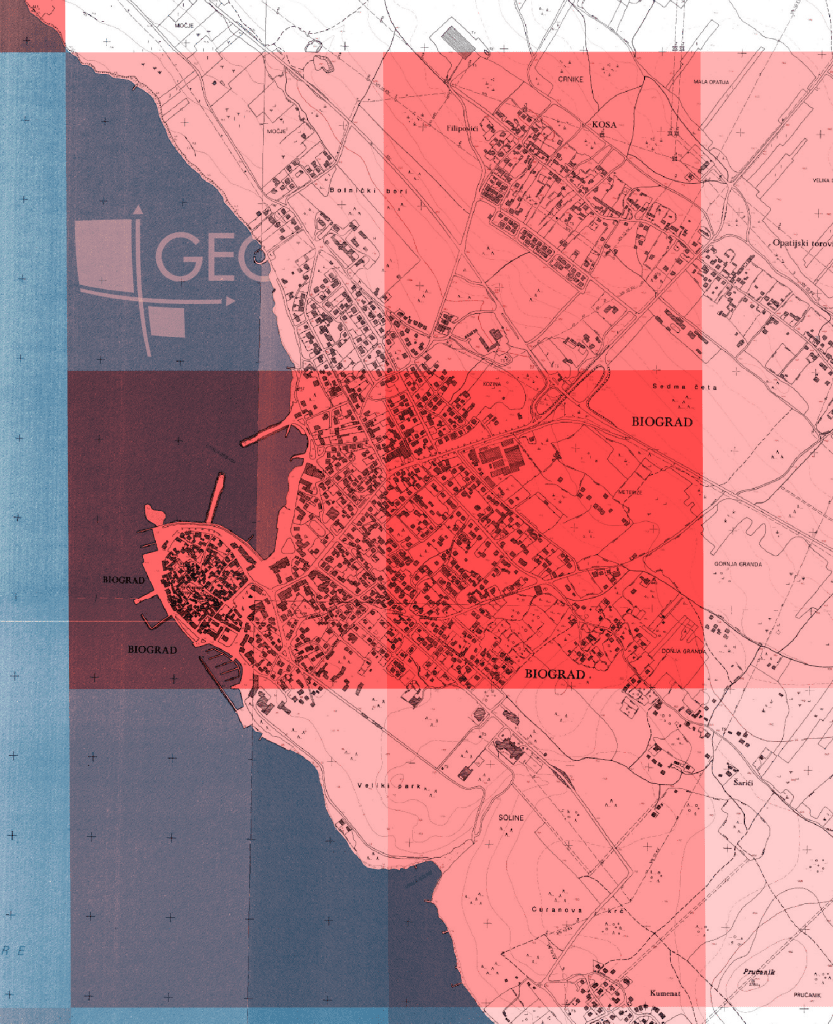
Population density at a resolution of 1×1 km
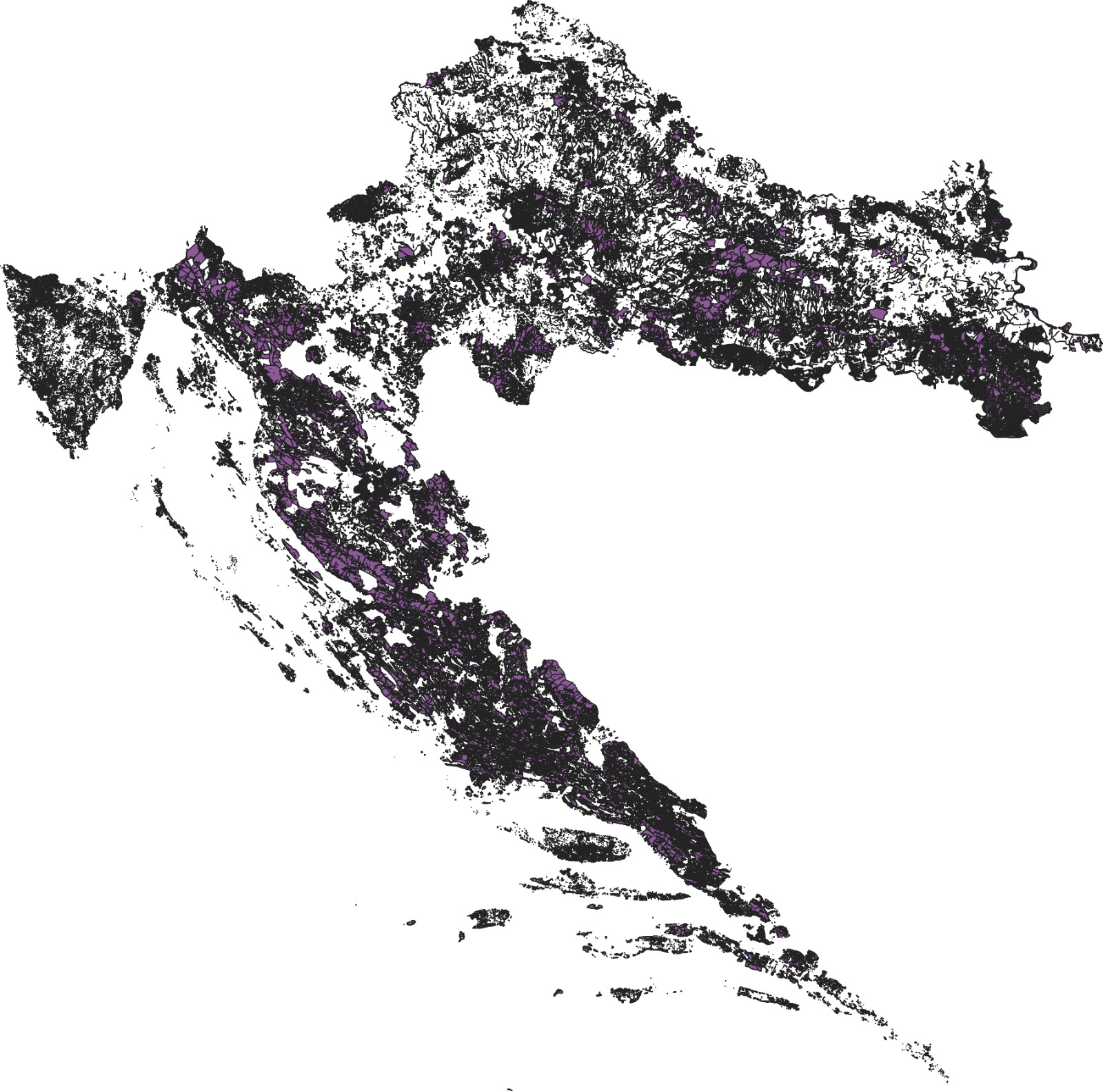
All property in state ownership
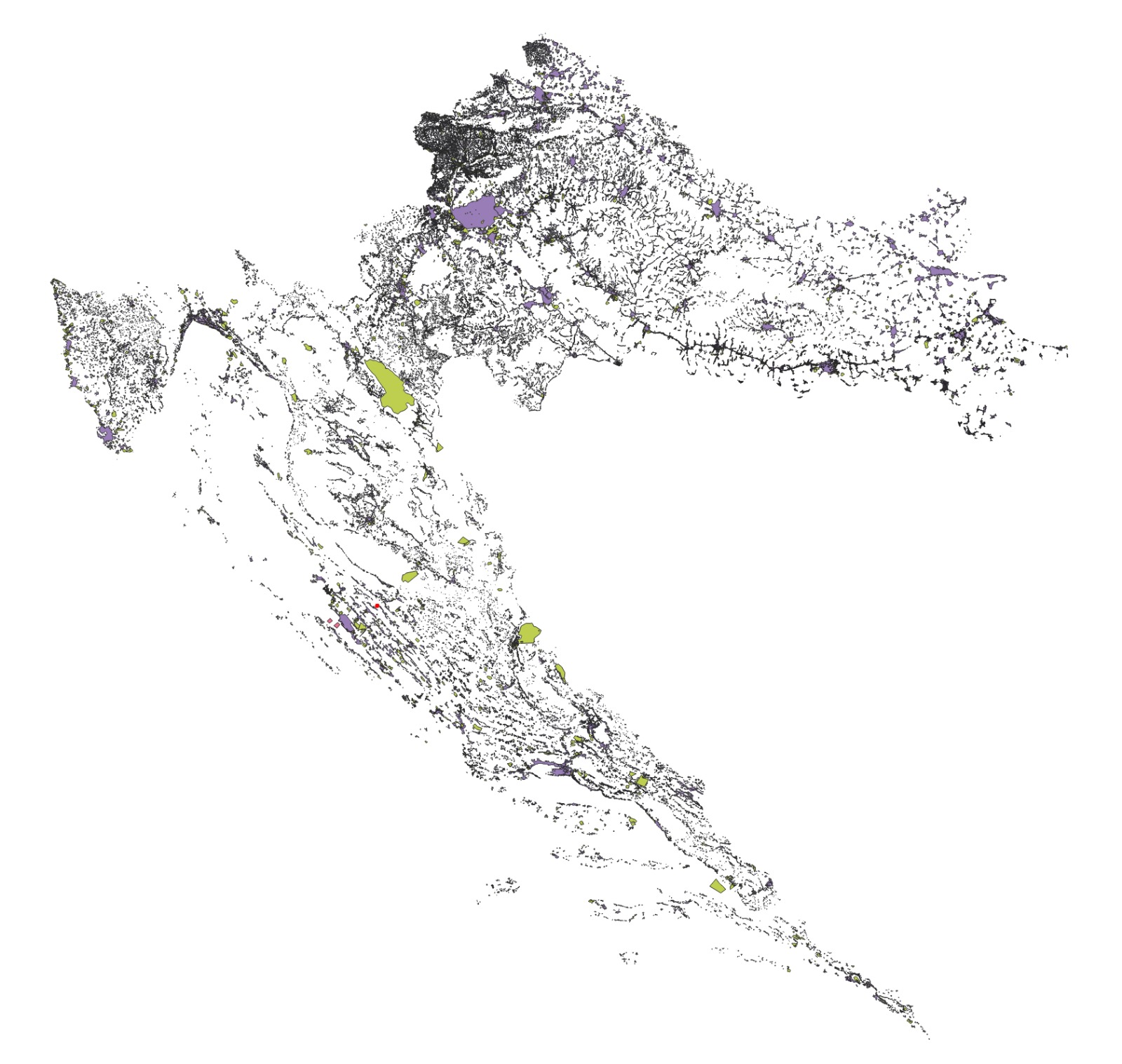
Construction/protected areas within the state’s territory

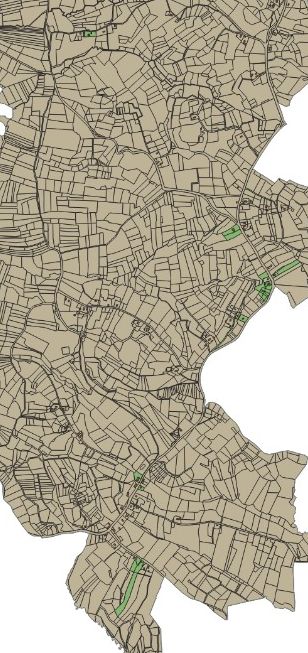
urban development plans
Precisely Locate
GIS allows us to identify the most desirable locations based on your specific requirements, whether you seek a quiet neighborhood, proximity to schools, or quick access to the business center.
Analyze the Market
By combining data on prices, sizes, and property features with geographic information, we can provide you with in-depth market analysis to make informed decisions.
Predict Trends
GIS helps us forecast future trends in the real estate market, allowing you to optimize your investments and plan long-term.
Ultico brings gis power to real estate
Our passion for technology and real estate allows us to deliver the best possible service to you. Contact us today and discover how GIS can transform your property search experience. Ulticoinvest is your partner in achieving your real estate dreams!
